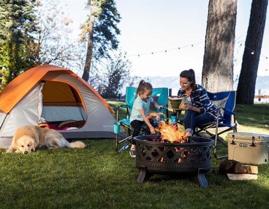
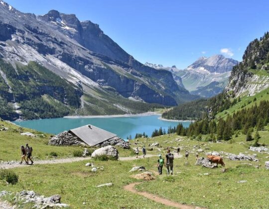
Embarking on a hiking or camping adventure often involves traversing diverse terrains and challenging landscapes. To navigate these environments effectively, outdoor enthusiasts turn to topographic maps—a valuable tool that provides a detailed representation of the Earth’s surface. In this comprehensive guide, we will delve into the intricacies of reading topographic maps, empowering hikers and campers with the skills needed to interpret elevation changes, understand terrain features, and plan their journeys with confidence.
Understanding the Basics of Topographic Maps:
- Topographic Map Definition:
- Definition: A topographic map is a detailed representation of a specific area, showcasing natural and man-made features such as elevation, terrain contours, bodies of water, trails, and more.
- Scale: Topographic maps come in various scales, indicating the ratio between the map and the actual terrain. Common scales include 1:24,000 and 1:50,000.
- Key Components of Topographic Maps:
- Contour Lines: Contour lines connect points of equal elevation, providing a three-dimensional view of the terrain. Lines close together represent steep terrain, while lines spaced farther apart indicate gentle slopes.
- **Elevation: **Numerical values indicate the elevation of specific points on the map. Understanding elevation helps hikers anticipate the difficulty of the terrain.
- Coordinate System:
- Latitude and Longitude: Topographic maps use latitude and longitude coordinates to pinpoint locations. Understanding these coordinates is crucial for accurate navigation.
Reading Contour Lines:
- Contour Interval:
- Definition: The contour interval is the vertical distance between adjacent contour lines. It varies based on the scale of the map.
- Interpretation: A smaller contour interval (e.g., 10 feet) represents a more detailed view of the terrain, while a larger interval (e.g., 100 feet) provides a broader overview.
- Identifying Slopes:
- Contour Line Patterns: Concentric circles indicate hills or peaks, while V-shaped contours depict valleys. Lines pointing upstream indicate a river or stream.
- Reading Elevation Changes:
- Upward and Downward Slopes: Contour lines forming a V-shape with the apex pointing uphill signify a valley. Conversely, a V-shape pointing downhill indicates a ridge or peak.
Using Topographic Maps for Navigation:
- Orienting the Map:
- Aligning with the Landscape: Align the map with the actual landscape by matching features like roads, rivers, or mountain peaks. Use a compass to ensure accurate orientation.
- Measuring Distances:
- Scale Bar: Topographic maps include a scale bar representing the distance on the map and its equivalent in the real world. Use this to estimate distances between points.
- Understanding Declination:
- Magnetic North vs. True North: The difference between magnetic north (as indicated by a compass) and true north (geographic north) is known as declination. Adjust your compass readings accordingly for accurate navigation.
- Following Trails and Routes:
- Trail Representation: Trails are often marked on topographic maps with dashed or solid lines. Understand the symbols used for various trails and routes.
Tips for Effective Topographic Map Reading:
- Map Legend:
- Definition: The legend provides a key to the symbols and colors used on the map. Familiarize yourself with the legend to interpret map features accurately.
- Terrain Association:
- Matching Features: Identify prominent features on the map, such as peaks, rivers, or unique terrain formations, and match them with the actual landscape for confident navigation.
- Contour Line Patterns:
- Concentric Circles: When contour lines form concentric circles, it indicates a hill or peak. The closer the lines, the steeper the slope.
- Understanding Map Symbology:
- Symbols and Colors: Pay attention to symbols and colors used on the map. Differentiate between natural features, human-made structures, and vegetation types.
- Practical Exercises:
- Map Reading Exercises: Practice map reading skills on simpler terrain before tackling more challenging landscapes. Use online resources or map apps to simulate real-world scenarios.
Conclusion:
Mastering the art of reading topographic maps is a valuable skill for hikers and campers seeking to explore the great outdoors with confidence. By understanding contour lines, elevation changes, and map symbology, outdoor enthusiasts can plan routes, navigate challenging terrain, and make informed decisions during their adventures. Whether trekking through mountainous landscapes or navigating dense forests, a well-honed ability to read topographic maps opens up a world of exploration, ensuring that every journey into nature is not just an adventure but a well-informed and safe experience.


